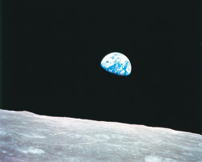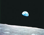
Here is a picture of the Earth taken from close to
the Moon |

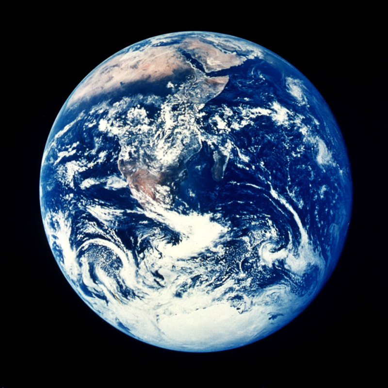
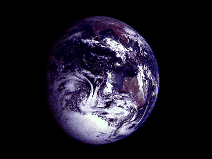
Clear picture of the Earth in daytime |
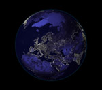
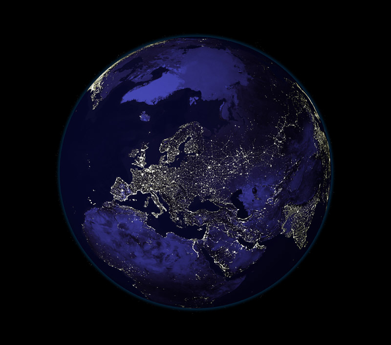
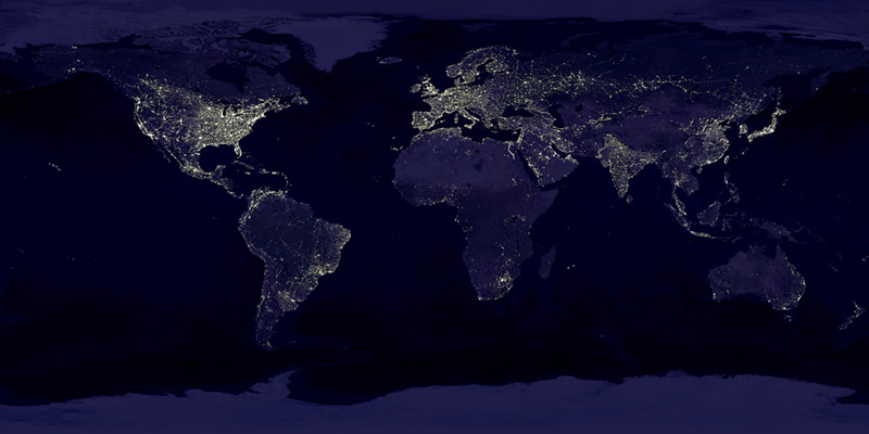
Here is a good picture
of the Earth at Night, you can clearly see lights on. |
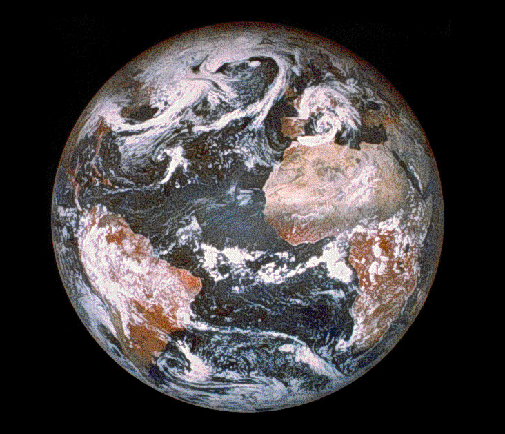
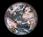 Clementine color mosaic of the
full Earth taken while the spacecraft was orbiting the moon. Over 70 high resolution
images were taken and put together to form this mosaic. Africa can be seen to the right,
South America at lower left, and North America and Europe at the top mostly hidden by
clouds. The Earth is 12,750 km in diameter and north is at roughly 11:30. |

Here is a partial picture of the Earth on a cloudless
night. |
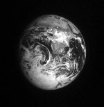 Galileo raw image of Earth taken
from 2.7 million km 3 days after the first flyby. Africa and the Middle East can be seen
at the top and Antarctica at the bottom. Weather systems are visible in the clouds over
the Atlantic and Indian oceans. The image was taken through the infrared (9680 nm) filter,
which enhances the visibility of the land masses. Earth is 12,750 km in diameter. |
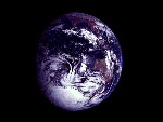 View of Earth showing Antarctic,
Australia and India
This image from Galileo's first flyby of Earth on 12 December 1990 UT (11 December EST)
shows Antarctica at the bottom, Australia to the right and India at the top. The center of
the disk is at about 35 S, 255 W in the Indian Ocean. The color image was produced from 3
Galileo color images. Australia is about 3200 km (2000 miles) across. The image was taken
from about 2.5 million km from Earth, 3 days after closest approach. |
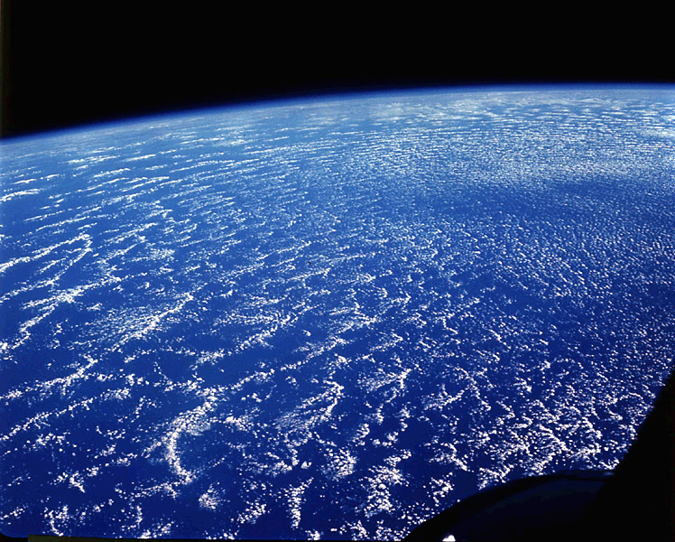
 Network of stratocumulus clouds SW of
the Canary Islands on Earth
Gemini 6 photograph of a large network of stratocumulus clouds southwest of the Canary
Islands on Earth. |
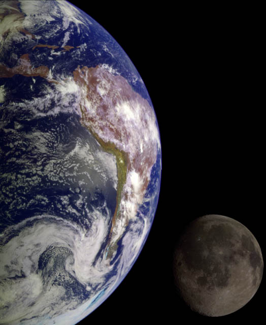
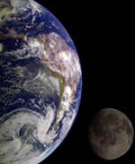 Picture of the Earth and the Moon
together. Good view of the moon and Earth, picture taken in back of the Earth |
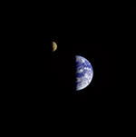 On December 16, 1992, 8 days after its
encounter with Earth, the Galileo spacecraft looked back from a distance of about 6.2
million kilometers (3.9 million miles) to capture this remarkable view of the Moon in
orbit about Earth. The Moon is in the foreground; its orbital path is from left to right.
At the bottom of Earth's disk, Antarctica is visible through clouds. The Moon's far side
can also be seen. The shadowy indentation in the Moon's dawn terminator--the boundary
between its dark and lit sides--is the South Pole-Aitken Basin, one of the largest and
oldest lunar impact features. |
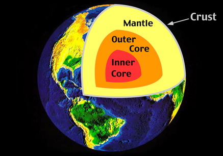
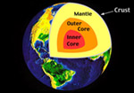 Good picture of the layers of the Earth. |
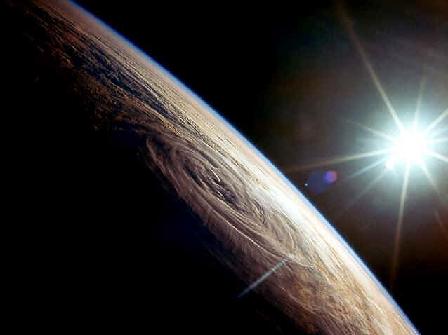
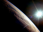 Picture of the Earth and the Sun |